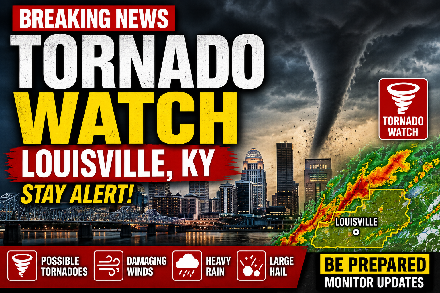
Residents across Louisville and surrounding parts of Kentucky are once again on high alert as severe weather conditions raise concerns about possible tornadoes, damaging winds, flash flooding, and large hail.
The tornado watch, issued by weather authorities for Louisville and numerous surrounding counties, has sparked concern among residents who have already experienced multiple rounds of severe weather this year. The alert covers Jefferson County and much of the Louisville metropolitan area, with forecasters warning that atmospheric conditions could support the development of dangerous thunderstorms capable of producing tornadoes.
As weather models continue to show unstable conditions across portions of the Midwest and Ohio Valley, emergency officials are urging residents to stay informed and have safety plans in place.
What a Tornado Watch Actually Means
One of the biggest misconceptions during severe weather events involves the difference between a tornado watch and a tornado warning.
A tornado watch means conditions are favorable for tornado development.
It does not mean a tornado has been spotted.
However, it does mean residents should be prepared to act quickly if conditions worsen.
A tornado warning, by contrast, is issued when a tornado has been detected by radar or observed by trained spotters.
Meteorologists stress that watches are intended to provide advance notice so people can prepare before storms arrive.
For Louisville residents, the current watch serves as an early signal that severe weather could rapidly develop.
Louisville’s Recent History With Severe Weather
Kentucky has experienced numerous severe weather events in recent years.
Tornado outbreaks, destructive thunderstorms, and flash flooding events have left lasting memories for many communities throughout the state.
As a result, weather alerts tend to generate significant public attention.
Many residents remember previous storms that caused widespread power outages, structural damage, fallen trees, and transportation disruptions.
Those experiences help explain why tornado watches often lead to increased concern across the region.
Officials say preparation remains the best defense against rapidly changing weather conditions.
Forecasters Monitoring Dangerous Conditions
Meteorologists are closely tracking atmospheric instability, moisture levels, wind shear, and other ingredients that can contribute to severe thunderstorm development.
Weather experts note that even storms that do not produce tornadoes can still be extremely dangerous.
Damaging straight-line winds can exceed hurricane-force levels in some severe thunderstorms.
Large hail can damage vehicles, homes, and businesses.
Heavy rainfall can quickly create flash flooding concerns.
The combination of these threats means residents should take all severe weather alerts seriously.
Social Media Flooded With Weather Updates
As news of the tornado watch spread, social media platforms quickly filled with weather maps, radar screenshots, and storm updates.
Many Louisville residents began sharing preparation plans and monitoring local forecasts.
Weather-focused accounts saw significant increases in engagement as people searched for the latest information.
The rapid spread of information can be helpful.
However, emergency officials are reminding residents to rely on trusted weather sources rather than rumors or unverified social media posts.
Accurate information becomes especially important during fast-moving weather events.
Emergency Officials Urge Preparation
Local emergency management agencies are encouraging residents to review safety procedures before storms arrive.
Experts recommend identifying a safe location within the home, such as a basement or interior room away from windows.
Residents are also advised to keep mobile devices charged and ensure emergency alerts are enabled.
Having flashlights, batteries, bottled water, and essential medications available can also prove helpful during severe weather situations.
Preparedness measures may seem simple, but officials say they can make a significant difference during emergencies.
Travel Could Be Affected
Severe weather often impacts transportation throughout the Louisville area.
Heavy rain can reduce visibility and create hazardous driving conditions.
Strong winds can affect bridges and high-profile vehicles.
Air travel may also experience delays if storms move through the region.
Transportation officials are advising motorists to monitor conditions and avoid unnecessary travel if severe weather develops.
Drivers should never attempt to drive through flooded roadways, one of the leading causes of weather-related fatalities.
A Broader Severe Weather Pattern
The Louisville tornado watch comes amid a period of active weather affecting large portions of the United States.
Meteorologists have warned that multiple storm systems moving across the country have created favorable conditions for severe thunderstorms and tornadoes in several states. Recent outbreaks across the Midwest have included tornado watches, tornado warnings, damaging winds, and large hail events affecting millions of residents.
Forecasters continue monitoring evolving weather patterns that could bring additional severe weather risks in the coming days.
Why Tornado Preparedness Matters
Although tornadoes remain relatively rare compared to other weather events, they can develop quickly and cause devastating damage.
Many tornadoes form with little warning.
That reality is why emergency officials repeatedly emphasize preparedness.
Knowing where to seek shelter and how to receive emergency alerts can significantly improve safety outcomes.
Weather experts consistently stress that preparation should occur before storms arrive rather than after warnings are issued.
What Residents Should Watch For
Meteorologists recommend monitoring weather conditions closely throughout the watch period.
Warning signs of severe weather can include:
- Dark or greenish skies
- Large hail
- Strong, rotating clouds
- Sudden increases in wind speed
- Loud roaring sounds similar to a freight train
If a tornado warning is issued, residents should move immediately to a designated shelter area.
Every minute can matter during rapidly developing storms.
Final Thoughts
The tornado watch affecting Louisville serves as an important reminder of Kentucky’s vulnerability to severe weather.
While a watch does not guarantee a tornado will occur, it signals that conditions are favorable for dangerous storms capable of producing significant impacts.
Meteorologists, emergency officials, and local leaders are urging residents to stay informed, remain prepared, and take weather alerts seriously.
As storms move through the region, many Louisville residents will be watching the skies closely and hoping the threat passes without major damage.
For now, preparation remains the most important tool available.